16. Incomplete Cartographies
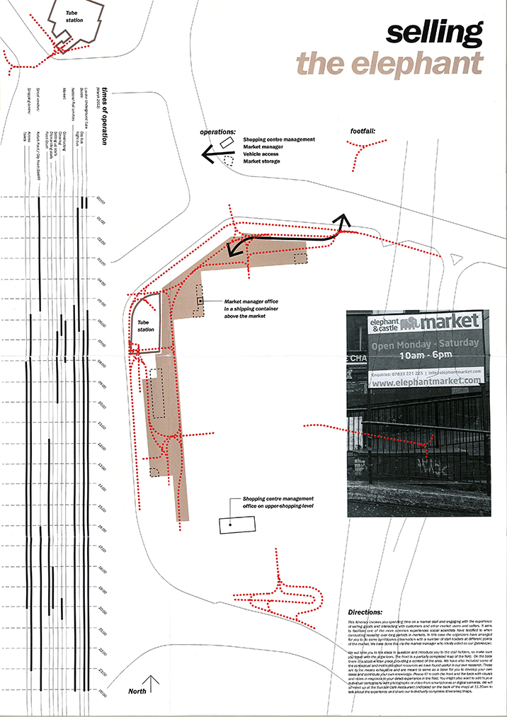
Description: Incomplete Cartographies is an approach to design that embraces the collective formation and open-endedness of situated landscape conversations. The approach has been developed from the Itineraries and Cartographies workshop at the London School of Economics/New York University NYLON conference, co-convened with the sociologist Antonia Dawes, and further developed with students at the University of Greenwich (London) and TU Wien (Vienna).
Incomplete Cartographies aims to:
• Work with open-ended landscape processes
• Include often unheard accounts of places
• Map and visualise less-spatial information
• Combine hand-drawn and digital data sets
• Intersects local material scales and larger contexts
• Embrace site-specific methodologies
• Encourage situated conversations
• Overlaps historic accounts with future dreams
The Incomplete Cartographies project has been published in Landscape Journal: Landscape and Education (2021), Landscape Citizenships (2021), and OASE Journal for Architecture (2017) and presented at CEPT Informal Talks (Ahmedabad 2020), Making Do/Slow Lab conference (Oregon 2020), Landscape Research by Design Seminar Series (Edinburgh 2019), Beijing Forestry University (Beijing 2019), and ECLAS (NMBU 2019).
Date: 2014 –
Credits:
Ed Wall
Students at University of Greenwich (London) and TU Wien (Vienna)
Thanks:
Antonia Dawes
Sabine Knierbein (SKuOR/TU Vienna)